

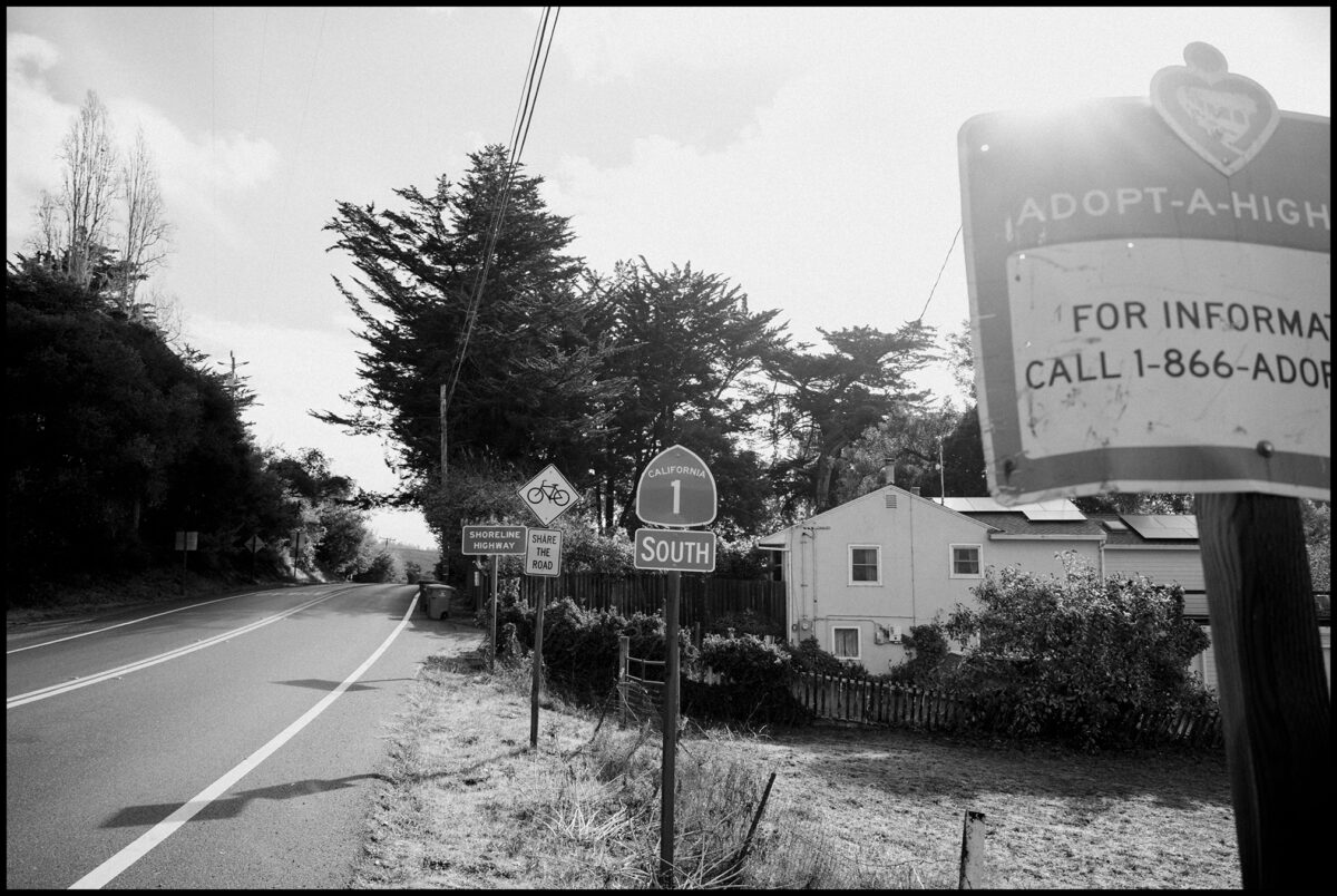
Caltrans is proposing to add nearly 250 signs on Marin’s stretch of Highway 1, most of them on curves where crashes occurred during a recent five-year span.
In a draft environmental report that is open for public comment through November, Caltrans writes that the signs would bring the highway in line with updated state sign standards and reduce run-off-the-road and head-on crashes.
From July 2019 through June 2024, the agency recorded 311 collisions on Highway 1 in Marin, including four deaths and 51 serious injuries. Excessive speed was the leading cause.
In addition to curve warnings and speed signs, the state agency hopes to add school-zone signs and two solar-powered radar speed signs at the Stinson Beach School, pedestrian warning signs in Marshall, and a high-visibility crosswalk with flashing beacons near Nick’s Cove and the Miller Park boat launch. Advisory speeds would drop by 5 mph at nine locations.
Apart from the addition of 246 new signs, 76 existing signs would be replaced.
The proposal is sharply reduced from a previous draft that drew objections from the California Coastal Commission. In 2021, Caltrans hoped to add more than 800 warning signs on the same Marin stretch.
“The highway includes sharp curves, steep drop-offs, and narrow shoulder widths, with limited recovery area for errant vehicles,” the report states. “Signing along the corridor is inconsistent, and many locations contain outdated or missing advisory speed plaques.”
Thirteen locations were chosen to prevent curve crashes, 14 to replace outdated signs, and nine for pedestrian safety, the latter based on community input.
The deadline for submitting public comments is Nov. 29, but Caltrans might extend that date after Point Reyes Station resident Ken Levin called for a public meeting on the proposal.
Mr. Levin believes the plan is excessive and will spoil views on one of the nation’s most picturesque highways. “They haven’t proved that this saves lives, and it’s not a couple of signs—it’s dozens of signs,” he said. “It’s overkill.”
He pointed to 13 separate curves where the number of signs would rise dramatically, including one near Millerton Point where 20 signs would be added, bringing the total to 32. A stretch between Muir Beach and Stinson Beach would get 22 signs, up from two signs now.
Many of those proposed signs would likely be what transportation engineers call “chevron signs”—yellow signs with black arrowheads, posted in sequence and tracing the direction of a curve.
Caltrans says it will mitigate the visual impact of any new signs by painting the backs of them brown or pale blue, to blend into the landscape.
Ken Eichstaedt, an Olema resident and a retired Petaluma traffic engineer, believes the proposal is based on solid data and could save lives. Though longtime residents may be familiar with the curves highlighted in the report, the millions of annual visitors to West Marin are not. “It’s a very small mind that looks at safety from the standpoint of ‘I don’t need it,’” he said.
The project would cost about $1.5 million, with roughly 41 days of construction in 2028. Comments can be emailed to John Seal at [email protected].